Solutions

Fraud & Loan Quality
FraudGuard®
FraudGuard® Home Equity
FraudGuard® Optional Modules
AppIntelligence® Score
AI Technology
CovenantGuard™
Home Equity
HELOC
Property Taxes
Taxsource
Title Analytics
VeriTitle

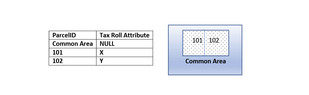
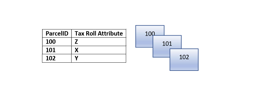
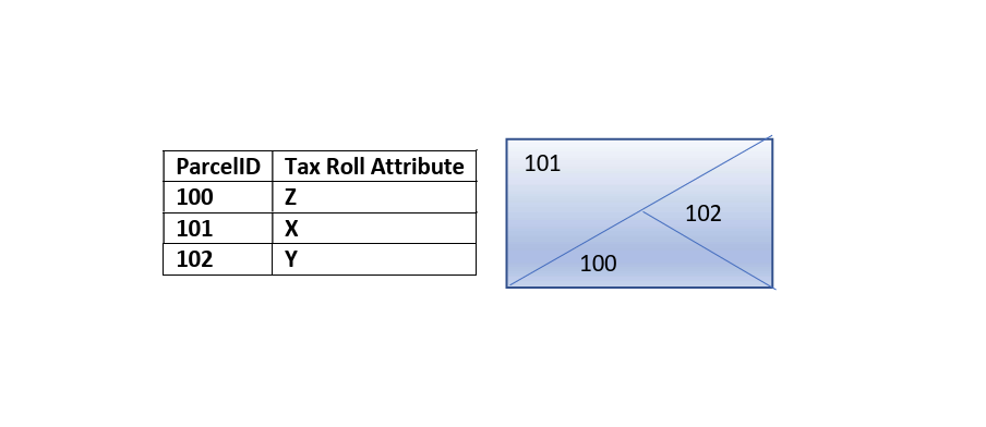
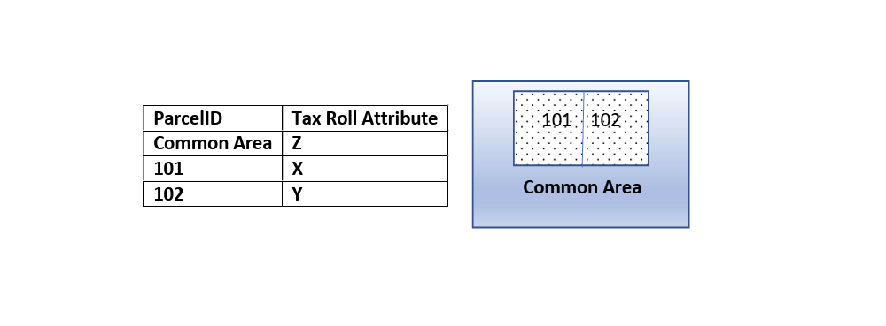
How Relational Data Schemas Improve Data Quality and Accuracy
We’ve identified common industry pain points typical to this industry. Learn how First American Data & Analytics delivers the most efficient and reliable solution for your company.