Solutions

Fraud & Loan Quality
FraudGuard®
FraudGuard® Home Equity
FraudGuard® Optional Modules
AppIntelligence® Score
AI Technology
CovenantGuard™
Home Equity
HELOC
Property Taxes
Taxsource
Title Analytics
VeriTitle

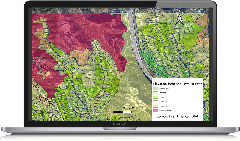
P&C Insurance - Parcel Elevation and Slope
Provide underwriters with precise property elevation and slope data to help assess natural hazard risk and environmental issues.